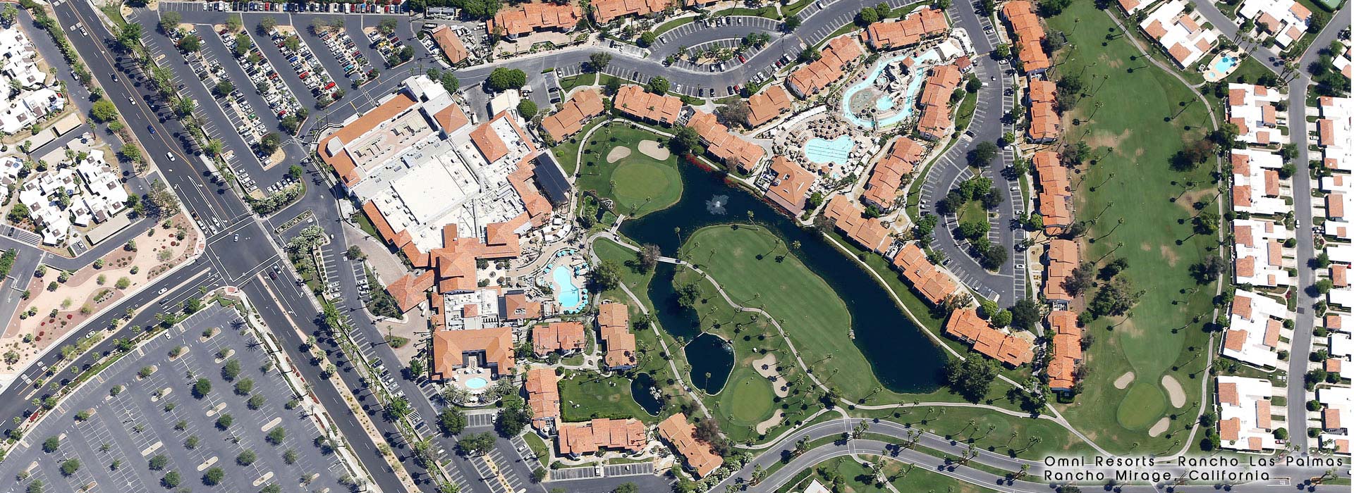


Commercial - Residential - Industrial - Government - Public Use
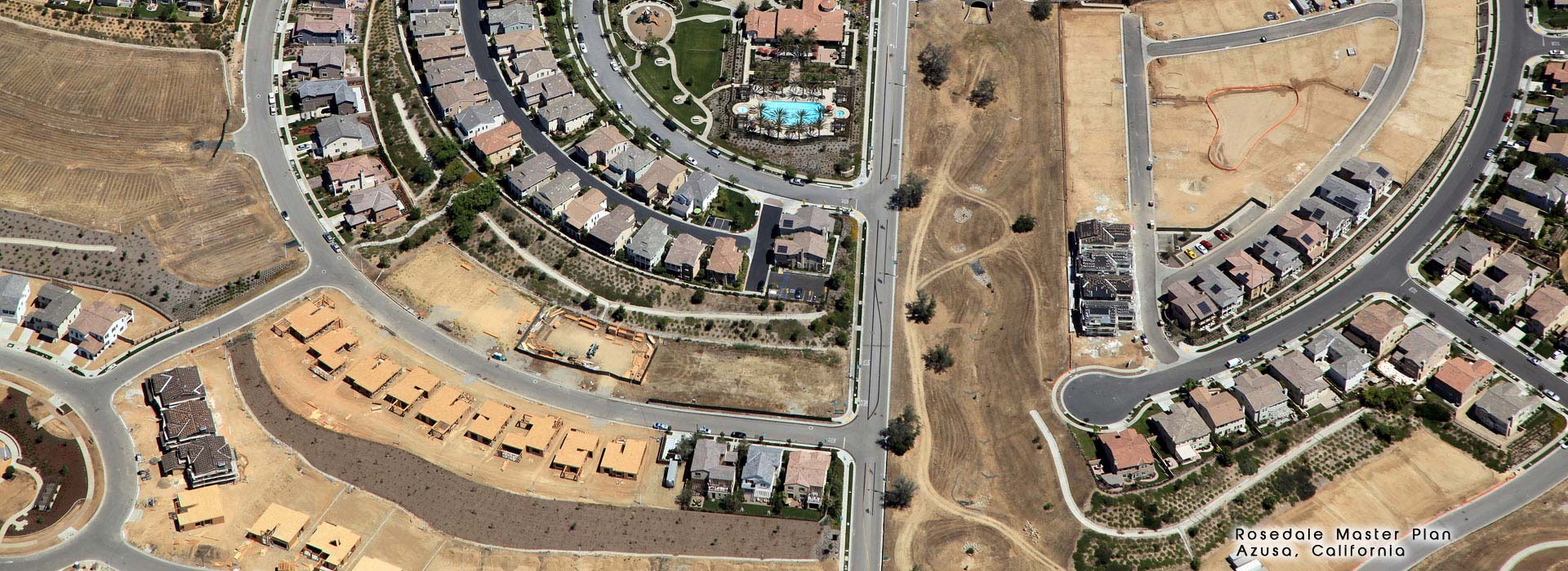
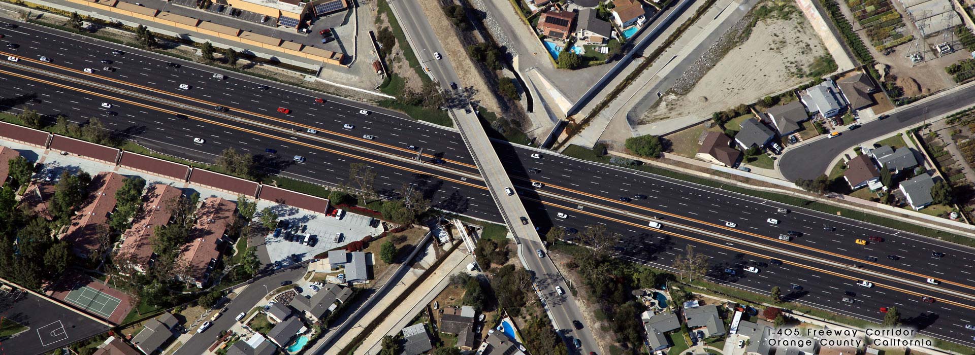
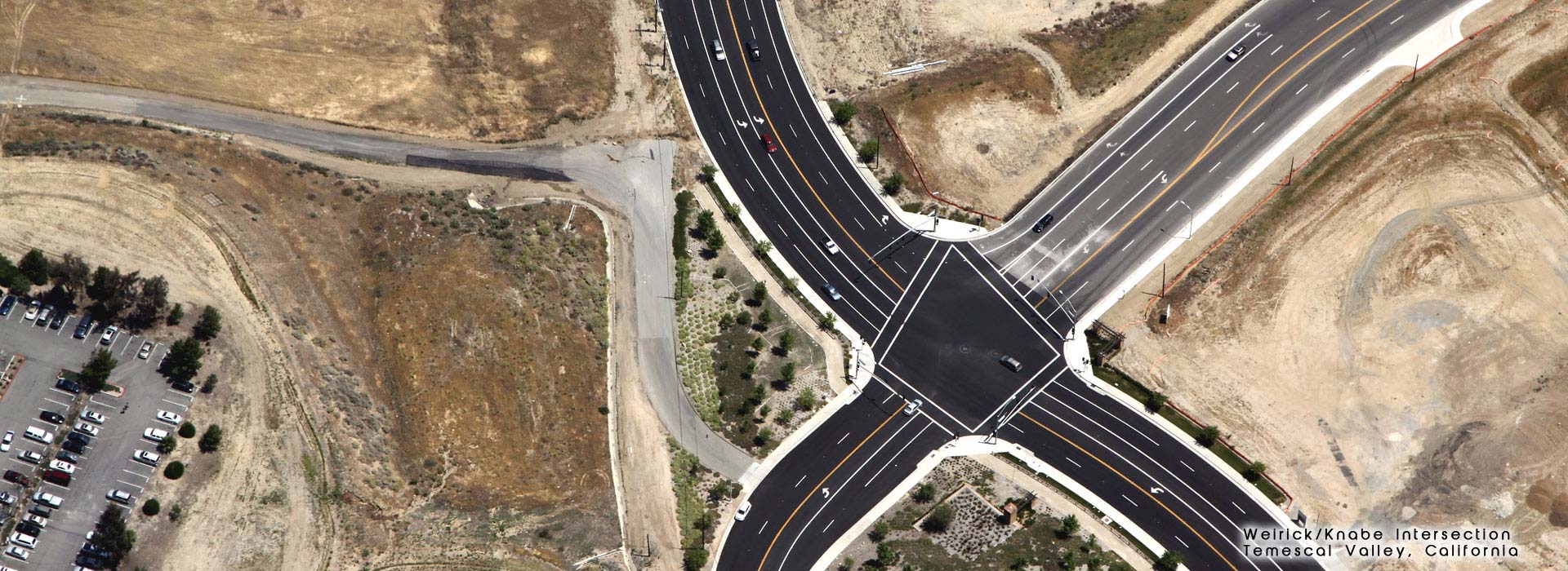
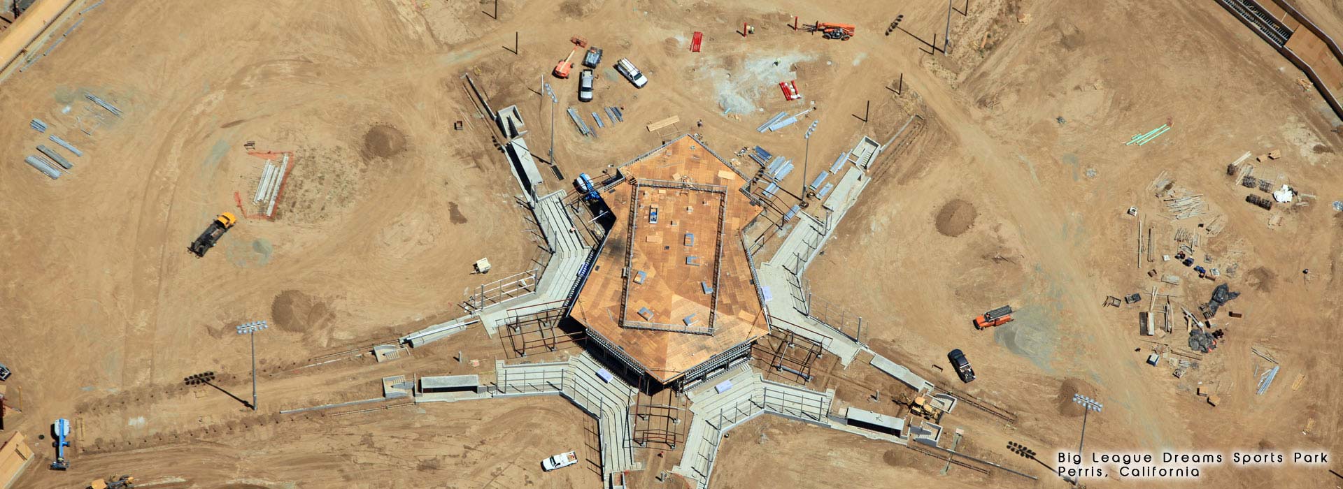
Skyview Imaging provides custom vertical and oblique angle views to meet your needs. Time of day, ground activity, and preferred angles are all considered based on the assignment. Most assignments are completed within one week of request, weather permitting.
With prescheduled sequence shots, you get continuity, consistency, and assurance that you have the most current available photos of your project site. The average assignment results in 20-40 useful images delivered electronically within 24 hours of flight.
Some photos benefit from a little extra. Digital enhancements such as boundary lines, street names, or project titles can be added to any image. Adding or subtracting trees, cars, or buildings can help convey your ideas.
• Tripod mounted DSLR camera
• 5-25' above ground
• Provides unique perspective
• Publication quality image resolution
• Unmanned Aerial Vehicle (UAV)
• 25-200’ above ground
• Wide angle digital camera
• Useful stills, great video capability
• FAA 333 Exemption in place
• FAA Part 107 certified pilots
• Fixed wing aircraft
• 1,000-10,000’ above ground
• Wide service area
• Investor quality image resolution
• Vertical Orthomosaic
• Planning-level, point cloud and DEM data
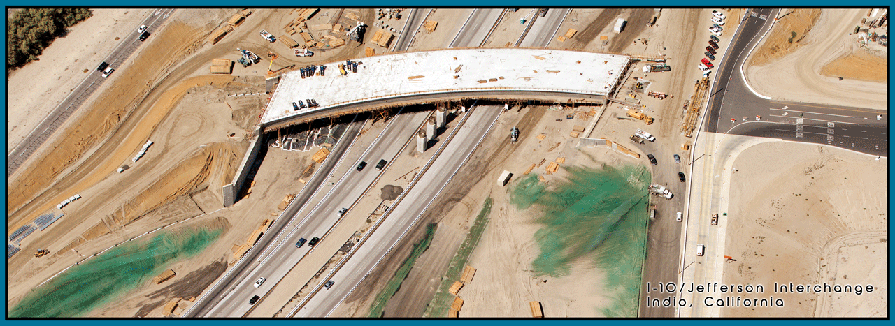
Transportation infrastructure is a focus area for our consulting business and parent company Rodriguez Consulting Group. The I-10/Jefferson Interchange is a complex project from funding and construction implementation perspectives. Funding is derived from a combination of local, regional, state and federal sources. Construction includes multiple bridge structures, roadway realignment, landscape/hardscape and aesthetic treatments. This is a multi-year project that includes quarterly progress aerial photography. Imagery is used by project managers and funding agencies to aid in planning and public information efforts.
What does your dream office look like? Our favorite places to work are in the field walking a project site or in an airplane enjoying a unique perspective. Paul and Traci share all aspects of the operation having started our flying adventure together in 2003 to fulfill a shared dream. The desire to engage in the fantasy of flight was instilled early through various family members involved in the aerospace industry. We combined our entrepreneurial spirit and a personal demand for top-notch customer service into a successful value added service line to support our respective consulting clientele. Each assignment is treated like a new challenge. That’s what keeps life interesting. Let us share our passion and see where it takes you.